 |
 © ©
|  |
 |
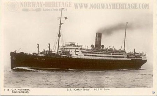
| Vessel Type: | Armed Liner | Location: | Co. Donegal |
| Date of Loss: | 7th June 1940 | Place: | 34 miles West of Bloody Foreland |
| Cause of Loss: | Torpedoed & sunk by U-Boat U-46 | Last known position: | 55° 15' North x 09° 18' West* |
|
© by kind permission of Børge Solem and Trond Austheim of norway heritage web site
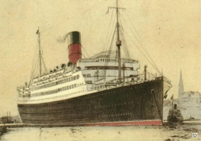
© by kind permission of lostliners web site
| ||||
Source
Publications:
|
Dictionary
of Disasters at Sea during the Age of Steam 1824 - 1962 | by | Charles Hocking |
| London Stamp Exchange 1989 - ISBN: 0948130474 | ||
Irish
Wrecks Database | by | Roy Stokes & Liam Dowling |
Shipwreck
Index of Ireland | by | Richard & Bridget Larn |
| Lloyd's Register - Fairplay Ltd 2002 - ISBN: 1900839970 | ||
Shipwrecks
of the Irish Coast 932 - 1997 | by | Edward J. Bourke |
| Edward J. Bourke 1998 - ISBN: 0952302713 |
Other
Sources: |
*source
- Geological Survey of Ireland | - | Internet (2020) |
|
|
Last update - 18-Nov-2020
|
|
A page from "www.irishwrecksonline.net" ©