 |
 © ©
|  |
 |
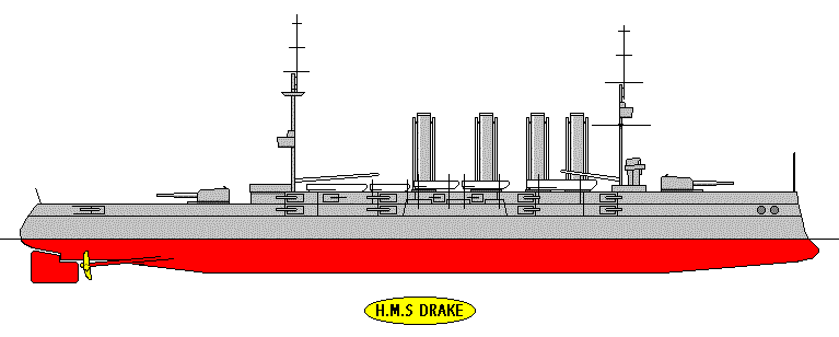
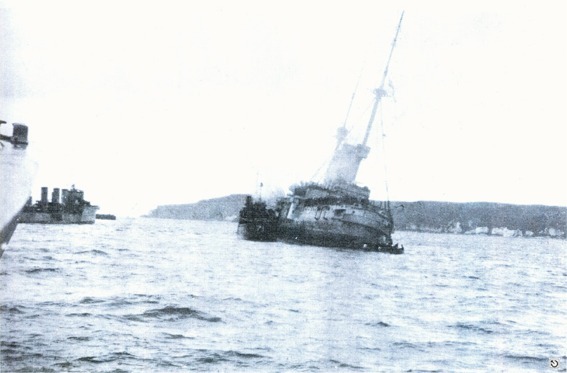
| Vessel Type: | Armoured Cruiser | Location: | Co. Antrim |
| Date of Loss: | 2nd October 1917 | Place: | Church Bay, Rathlin Island |
| Cause of Loss: | Torpedoed | Boat Dive from: | Ballycastle |
| Charted Depth: | 18m | Irish O.S. Map: | Discovery Series No. 5 |
| Height of Wreck: | 3-4m | Admiralty Chart No: | 2798 |
| Hull Material: | Armour plating | Latitude (GPS): | 55° 17' 13.44" North |
| Type of Seabed: | Sand over clay | Longitude (GPS): | 06° 12' 33.66" West |
| Average Visibility: | 6 - 10m | Convert Lat. & Long. to - | Decimal - CLICK HERE |
| Image available? | Yes - see below | Diving Experience: | Novice |
| Diving Information: |
|
| Historical Information: |
|
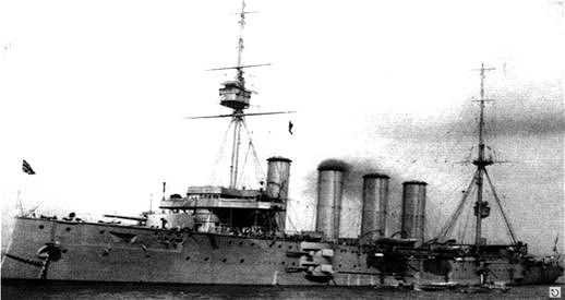
© Neal James Armstrong - by permission
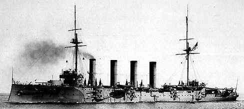
© Randal Armstrong Collection
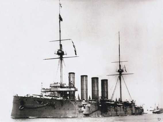
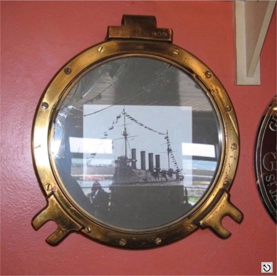
A photo of a photograph hanging in McQuaig's Bar, Rathlin Island
© Sandy Roberts - by permission
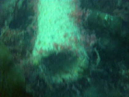
© by kind permission of Dr. Edward J. Bourke
© by kind permission of Dr. Edward J. Bourke
© Randal Armstrong Collection
H.M.S. Drake porthole containing a photo of the "Drake" - McQuaig's Bar, Rathlin Island
 |
| 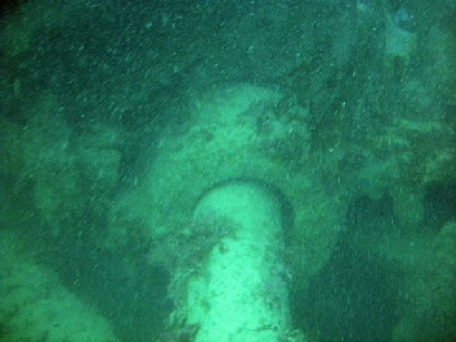 |
© Ryan Mc Stravick of Lisburn SAC
| Source Publications: |
| "Dictionary
of Disasters at Sea during the Age of Steam 1824 - 1962" |
by | Charles Hocking |
| London Stamp Exchange 1989 - ISBN: 0948130474 | ||
| "Shipwreck
Index of Ireland" |
by | Richard & Bridget Larn |
| Lloyd's Register - Fairplay Ltd 2002 - ISBN: 1900839970 | ||
| "Shipwrecks
of the Irish Coast 932 - 1997" |
by | Dr. Edward J. Bourke |
| Edward J. Bourke 1998 - ISBN: 0952302713 | ||
| "Shipwrecks
of the Ulster Coast" |
by | Ian Wilson |
| Impact Printing 1997 - ISBN: 0948154993 | ||
| "The
Cruise of H.M.S. Drake" |
by | J.A. Minter (1907) |
| "The
Fighting Ship in the Royal Navy" |
by | E.H.H. Archibald |
| Blandford Press 1984 - ISBN: 0713713488 | ||
| "The
Harsh Winds of Rathlin" |
by | Tommy Cecil |
| Impact Printing 1990 - ISBN: 0948154659 |
| Other Sources: |
| Randal
Armstrong | - | Castlereagh SAC (1990) |
| Royal
Navy | - | Hydrographic Department (1970) |
| Vic
Foster | - | Castlereagh SAC (1996) |
|
|
Last update - 06-Apr-2009
|
|
A page from "www.irishwrecksonline.net" ©