 |
 © ©
|  |
 |
| Vessel Type: | Light Vessel | Location: | Co. Wicklow |
| Date of Loss: | 28th March 1917 | Place: | Arklow Bank |
| Cause of Loss: | Bombed by U-Boat | Boat Dive from: | Arklow Quay |
| Charted Depth: | 53m | Irish O.S. Map: | Discovery Series No. 62 |
| Height of Wreck: | 7m | Admiralty Chart No: | 1787 and/or 1468 |
| Hull Material: | Steel | Latitude (approx.): | 52° 40' 16.02" North* |
| Type of Seabed: | Sand | Longitude (approx.): | 05° 57' 33.17" West* |
| Average Visibility: | 3 - 8m | Convert Lat. & Long. to - | Decimal - CLICK HERE |
| Image available? | Yes - see below | Diving Experience: | Experienced |
| Diving Information: |
|
| Historical Information: |
|
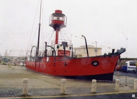
"L.V. Guillemot II" - a similar vessel to "L.V. Guillemot I"
Click
HERE
for INFOMAR* Side-Scan image |
Source
Publications:
|
| "Shipwreck
Index of Ireland" |
by | Richard & Bridget Larn |
| Lloyd's Register - Fairplay Ltd 2002 - ISBN: 1900839970 | ||
| "Shipwrecks
of the Irish Coast 1105- 1993" |
by | Dr. Edward J. Bourke |
| Edward J. Bourke 1994 - ISBN: 0952302705 | ||
| "The
South Arklow Light Vessel" article |
by | Roy Stokes |
| SubSea Magazine (Summer 2006) |
Other
Sources: |
*source
- Geological Survey of Ireland | - | Internet (2020) |
|
|
Last update - 23-Oct-2020
|
|
A page from "www.irishwrecksonline.net" ©