 |
 © ©
|  |
 |
| Vessel Type: | Barque | Location: | Co. Down |
| Date of Loss: | 15th November 1914 | Place: | Ship Rock, Ballyferris |
| Cause of Loss: | Struck Rocks | Boat Dive from: | Groomsport |
| Charted Depth: | 7m | Irish O.S. Map: | Discovery Series No. 15 & 21 |
| Height of Wreck: | Scattered | Admiralty Chart No: | 1753 |
| Hull Material: | Steel | Latitude (approx.): | 54° 35' 00" North |
| Type of Seabed: | Rocks & kelp | Longitude (approx.): | 05° 29' 00" West |
| Average Visibility: | 5 - 10m | Convert Lat. & Long. to - | Decimal - CLICK HERE |
| Image available? | Yes - see below | Diving Experience: | Novice |
| Diving Information: |
|
| Historical Information: |
|
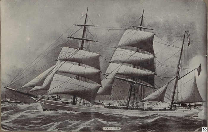
© by kind permission of State Library of Victoria
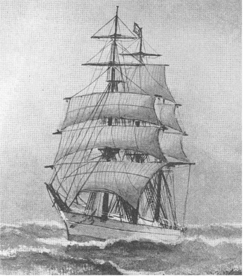
Artist unknown
All rights respectfully acknowleged
| Source Publications: |
| "Irish
Wrecks Database" | by | Roy Stokes & Liam Dowling |
|
"Shipwreck
Index of Ireland" |
by | Richard & Bridget Larn |
| Lloyd's Register - Fairplay Ltd 2002 - ISBN: 1900839970 | ||
|
"Shipwrecks
of the Ulster Coast" |
by | Ian Wilson |
| Impact Printing 1997 - ISBN: 0948154993 |
| Other Sources: |
| Davey
Martin | - | Castlereagh SAC (1977) |
| Randal
Armstrong | - | Castlereagh SAC (1978) |
|
|
Last update - 18-Jan-2005
|
|
A page from "www.irishwrecksonline.net" ©